


19 Jul ZL-005 Pueyo, Soto and Badlands
DIFFICULTY: Blue
DISTANCE: 17.80 km
CLIMB: +392 m
TIME: 1:30 h - 2 h h
WITH MUD: Feasible
MARKINGS: SI
AREA: Centro
EXIT: Aínsa
ARRIVAL: Aínsa


DESCRIPTION
Easy route by local road tracks with little transit. Atmosphere of pure countryside. The beginning is the river Cinca a flat and pleasant track and the finish is on the bed of a ravine cycle path.
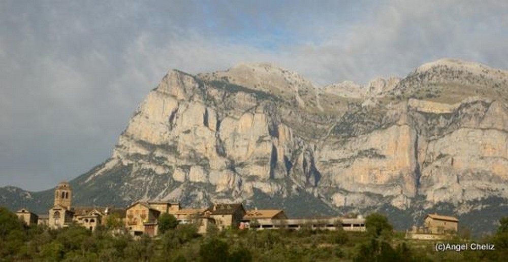
Materially, Pueyo de Araguas is the paradigm of small villages well rehabilitated; it is worth wile your visit.
Sources: Ainsa
Variant “More distance and spicy”: We add a few more kilometers to the route incorporating sections of path, ideal for beginners in the enduro MTB. The arrival at Aínsa by the hill of the Badlands is very photogenic. It is a spectacular ridge of marl.
TERRAIN
5% of trail (cyclable canyon), tracks, and quiet local roads.
RECOMMENDATIONS
All year round. Avoid after heavy rains.
PICTURE GALLERY




ROUTE PROFILE

ROUTE MAP
